 vesseltracker.com
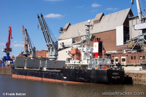
Vessel LEADER M IMO: 9217797, MMSI: 314577000 Bulk Carrier
UTC, 27.45191, 51.44608, course: 295, speed: 13.1
UTC, 27.45191, 51.44608, course: 295, speed: 13.1
2026-02-22 04:30:21 UTC, 27.45191, 51.44608, course: 295, speed: 13.1
Live AIS position:
UTC. 35 nm SW of Dayyer),
updated 2026-02-22 04:30:21 UTC.
Find the position of the vessel LEADER M on the map. The latter are known coordinates and path.
marine traffic ship tracker show on live map
The current position of vessel LEADER M is 27.45191 lat / 51.44608 lng. Updated: 2026-02-22 04:30:21 UTCCurrently sailing under the flag of Barbados
LEADER M built in 2000 year
Deadweight:
12235 tDetails:
Last coordinates of the vessel:
UTC, 27.40891, 51.54262, course: 295, speed: 13.1UTC, 27.45191, 51.44608, course: 295, speed: 13.1
UTC, 27.45191, 51.44608, course: 295, speed: 13.1
2026-02-22 04:30:21 UTC, 27.45191, 51.44608, course: 295, speed: 13.1