 vesseltracker.com
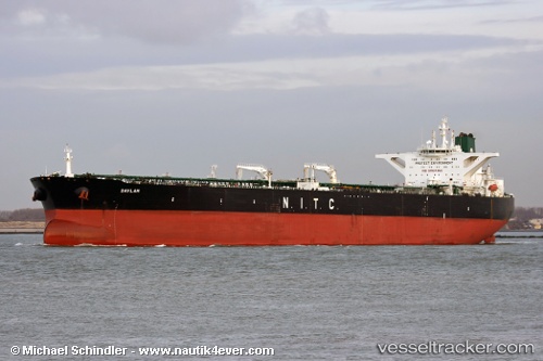
Vessel Dover IMO: 9218466, MMSI: 422230000 Crude Oil Tanker
UTC, 1.80343, 104.51909, course: -1, speed: 11.7
2026-02-14 15:37:37 UTC, 1.49771, 104.55037, course: -1, speed: 10.8
Live AIS position:
UTC. 25 nm NE of PENGERANG),
updated 2026-02-14 15:37:37 UTC.
Find the position of the vessel Dover on the map. The latter are known coordinates and path.
marine traffic ship tracker show on live map
The current position of vessel Dover is 1.49771 lat / 104.55037 lng. Updated: 2026-02-14 15:37:37 UTCDetails:
Last coordinates of the vessel:
UTC, 2.03924, 104.69475, course: -1, speed: 0.3UTC, 1.80343, 104.51909, course: -1, speed: 11.7
2026-02-14 15:37:37 UTC, 1.49771, 104.55037, course: -1, speed: 10.8