 vesseltracker.com
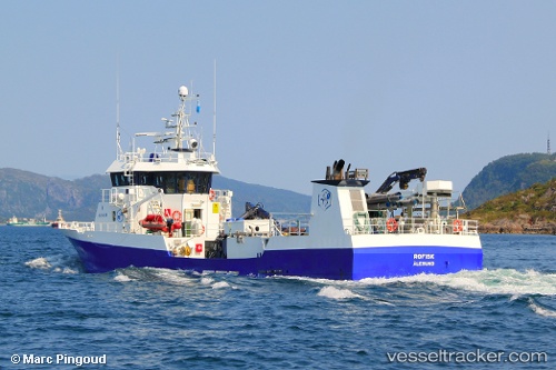
Vessel Migdale IMO: 9220689, MMSI: 259662000 Fish Carrier
UTC, 57.51047, -5.88715, course: 7, speed: 11.3
UTC, 57.85216, -5.83116, course: 4, speed: 7
2026-02-24 06:17:12 UTC, 58.08614, -5.47564, course: 34, speed: 10.5
Live AIS position:
UTC. Near Old Dornie),
updated 2026-02-24 06:17:12 UTC.
Find the position of the vessel Migdale on the map. The latter are known coordinates and path.
marine traffic ship tracker show on live map
The current position of vessel Migdale is 58.08614 lat / -5.47564 lng. Updated: 2026-02-24 06:17:12 UTCCurrently sailing under the flag of Norway
Migdale built in 2000 year
Deadweight:
650 tDetails:
Last coordinates of the vessel:
UTC, 57.19556, -5.67098, course: 42, speed: 10.4UTC, 57.51047, -5.88715, course: 7, speed: 11.3
UTC, 57.85216, -5.83116, course: 4, speed: 7
2026-02-24 06:17:12 UTC, 58.08614, -5.47564, course: 34, speed: 10.5