 vesseltracker.com
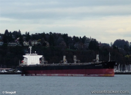
Vessel JIN RI NO1 IMO: 9227704, MMSI: 371108000
UTC, 8.78908, 97.11218, course: 328, speed: 11.4
UTC, 9.09913, 96.90754, course: 331, speed: 11.6
2026-02-13 12:10:02 UTC, 9.47852, 96.66342, course: 330, speed: 12.1
Live AIS position:
UTC. 108 nm W of Ban Talat Takua Pa),
updated 2026-02-13 12:10:02 UTC.
Find the position of the vessel JIN RI NO1 on the map. The latter are known coordinates and path.
marine traffic ship tracker show on live map
The current position of vessel JIN RI NO1 is 9.47852 lat / 96.66342 lng. Updated: 2026-02-13 12:10:02 UTCDetails:
Last coordinates of the vessel:
UTC, 8.50003, 97.30692, course: 326, speed: 11.4UTC, 8.78908, 97.11218, course: 328, speed: 11.4
UTC, 9.09913, 96.90754, course: 331, speed: 11.6
2026-02-13 12:10:02 UTC, 9.47852, 96.66342, course: 330, speed: 12.1