 vesseltracker.com
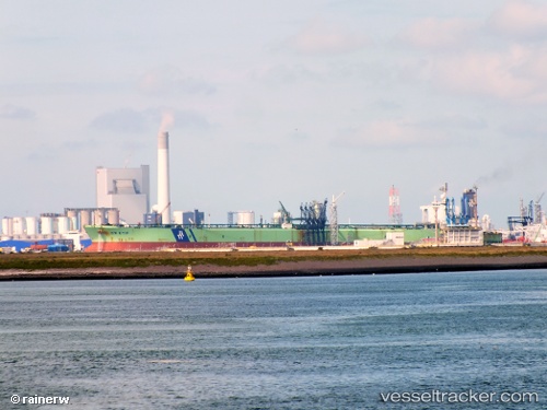
Vessel 621819062 IMO: 9227948, MMSI: 621819062
UTC, -32.53664, 32.25067, course: 60, speed: 11
UTC, -32.46178, 32.44443, course: 57, speed: 11.9
2026-02-11 15:20:46 UTC, -32.28333, 32.86833, course: -1, speed: 12
Live AIS position:
UTC. 154 nm SE of Ramsgate),
updated 2026-02-11 15:20:46 UTC.
Find the position of the vessel 621819062 on the map. The latter are known coordinates and path.
marine traffic ship tracker show on live map
The current position of vessel 621819062 is -32.28333 lat / 32.86833 lng. Updated: 2026-02-11 15:20:46 UTCDetails:
Last coordinates of the vessel:
UTC, -32.76746, 31.69215, course: 66, speed: 11.9UTC, -32.53664, 32.25067, course: 60, speed: 11
UTC, -32.46178, 32.44443, course: 57, speed: 11.9
2026-02-11 15:20:46 UTC, -32.28333, 32.86833, course: -1, speed: 12