 vesseltracker.com
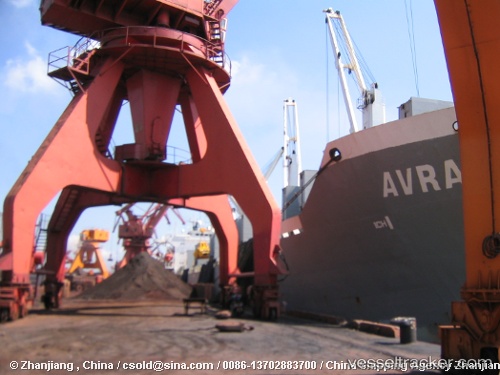
Vessel TAI HARMONY IMO: 9232187, MMSI: 477696600 Bulk Carrier
UTC, 57.65296, 10.64970, course: 165, speed: 0
UTC, 57.65257, 10.64840, course: 140, speed: 0
2026-03-02 15:42:53 UTC, 57.65268, 10.64788, course: 147, speed: 0
Live AIS position:
UTC. Near SKAGEN),
updated 2026-03-02 15:42:53 UTC.
Find the position of the vessel TAI HARMONY on the map. The latter are known coordinates and path.
marine traffic ship tracker show on live map
The current position of vessel TAI HARMONY is 57.65268 lat / 10.64788 lng. Updated: 2026-03-02 15:42:53 UTCCurrently sailing under the flag of Hong Kong, China
TAI HARMONY built in 2004 year
Deadweight:
53806 tDetails:
Last coordinates of the vessel:
UTC, 57.65293, 10.64938, course: 163, speed: 0UTC, 57.65296, 10.64970, course: 165, speed: 0
UTC, 57.65257, 10.64840, course: 140, speed: 0
2026-03-02 15:42:53 UTC, 57.65268, 10.64788, course: 147, speed: 0