 vesseltracker.com
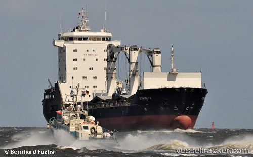
Vessel Dominica IMO: 9232204, MMSI: 255803960 Multi Purpose Carrier
UTC, 14.90988, -23.49902, course: 209, speed: 0
UTC, 14.90986, -23.49901, course: 208, speed: 0
2026-02-21 17:37:57 UTC, 14.90833, -23.49833, course: -1, speed: 0
Live AIS position:
UTC. Near Praia),
updated 2026-02-21 17:37:57 UTC.
Find the position of the vessel Dominica on the map. The latter are known coordinates and path.
marine traffic ship tracker show on live map
The current position of vessel Dominica is 14.90833 lat / -23.49833 lng. Updated: 2026-02-21 17:37:57 UTCCurrently sailing under the flag of Portugal
Dominica built in 2001 year
Deadweight:
13022 tDetails:
Last coordinates of the vessel:
UTC, 14.90988, -23.49900, course: 208, speed: 0UTC, 14.90988, -23.49902, course: 209, speed: 0
UTC, 14.90986, -23.49901, course: 208, speed: 0
2026-02-21 17:37:57 UTC, 14.90833, -23.49833, course: -1, speed: 0