 vesseltracker.com
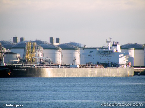
Vessel HALO 6 IMO: 9232448, MMSI: 750013000 Crude Oil Tanker
UTC, 2.01681, 104.73605, course: 339, speed: 0
UTC, 2.01691, 104.73617, course: 331, speed: 0
2026-03-01 06:19:06 UTC, 2.01669, 104.73553, course: -1, speed: 0
Live AIS position:
UTC. 54 nm NE of PENGERANG),
updated 2026-03-01 06:19:06 UTC.
Find the position of the vessel HALO 6 on the map. The latter are known coordinates and path.
marine traffic ship tracker show on live map
The current position of vessel HALO 6 is 2.01669 lat / 104.73553 lng. Updated: 2026-03-01 06:19:06 UTCDetails:
Last coordinates of the vessel:
UTC, 2.01665, 104.73566, course: 348, speed: 0UTC, 2.01681, 104.73605, course: 339, speed: 0
UTC, 2.01691, 104.73617, course: 331, speed: 0
2026-03-01 06:19:06 UTC, 2.01669, 104.73553, course: -1, speed: 0