 vesseltracker.com
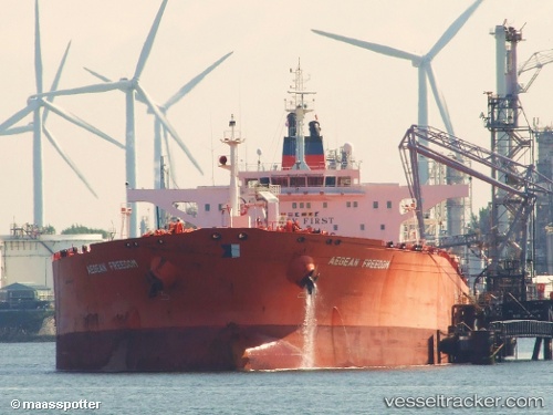
Vessel VERNON IMO: 9232876, MMSI: 632001131 Crude Oil Tanker
UTC, 34.46167, 123.82167, course: -1, speed: 10
UTC, 34.77500, 123.84333, course: -1, speed: 10
2026-02-25 19:22:01 UTC, 35.04167, 123.80667, course: -1, speed: 10
Live AIS position:
UTC. 72 nm W of Hongdo),
updated 2026-02-25 19:22:01 UTC.
Find the position of the vessel VERNON on the map. The latter are known coordinates and path.
marine traffic ship tracker show on live map
The current position of vessel VERNON is 35.04167 lat / 123.80667 lng. Updated: 2026-02-25 19:22:01 UTCCurrently sailing under the flag of Guinea-Bissau
Details:
Last coordinates of the vessel:
UTC, 34.09333, 123.80833, course: -1, speed: 10UTC, 34.46167, 123.82167, course: -1, speed: 10
UTC, 34.77500, 123.84333, course: -1, speed: 10
2026-02-25 19:22:01 UTC, 35.04167, 123.80667, course: -1, speed: 10