 vesseltracker.com
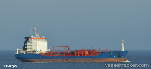
Vessel GSM IMO: 9232967, MMSI: 518999187 Oil/Chemical Tanker
UTC, 25.27382, 55.25872, course: -1, speed: 0
UTC, 25.27385, 55.25872, course: -1, speed: 0
2026-02-27 00:22:07 UTC, 25.27383, 55.25872, course: -1, speed: 0
Live AIS position:
UTC. Near DUBAI),
updated 2026-02-27 00:22:07 UTC.
Find the position of the vessel GSM on the map. The latter are known coordinates and path.
marine traffic ship tracker show on live map
The current position of vessel GSM is 25.27383 lat / 55.25872 lng. Updated: 2026-02-27 00:22:07 UTCCurrently sailing under the flag of Cook Islands
Details:
Last coordinates of the vessel:
UTC, 25.27383, 55.25872, course: -1, speed: 0UTC, 25.27382, 55.25872, course: -1, speed: 0
UTC, 25.27385, 55.25872, course: -1, speed: 0
2026-02-27 00:22:07 UTC, 25.27383, 55.25872, course: -1, speed: 0