 vesseltracker.com
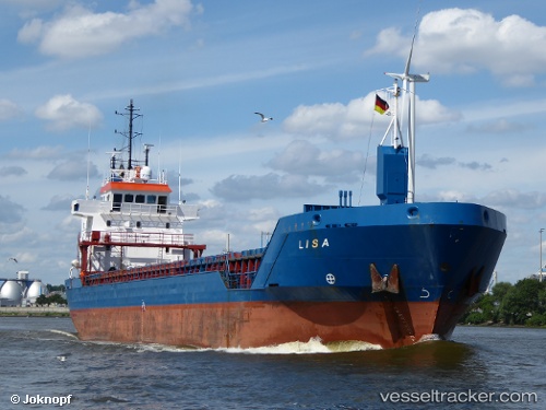
Vessel ELISA IMO: 9235505, MMSI: 314001134 General Cargo
UTC, 41.91688, 35.68776, course: 110, speed: 8.7
UTC, 41.91688, 35.68776, course: 110, speed: 8.7
2026-02-28 13:19:59 UTC, 41.91688, 35.68776, course: 110, speed: 8.7
Live AIS position:
UTC. 25 nm E of Sinop),
updated 2026-02-28 13:19:59 UTC.
Find the position of the vessel ELISA on the map. The latter are known coordinates and path.
marine traffic ship tracker show on live map
The current position of vessel ELISA is 41.91688 lat / 35.68776 lng. Updated: 2026-02-28 13:19:59 UTCCurrently sailing under the flag of Barbados
Details:
Last coordinates of the vessel:
UTC, 42.01932, 35.42600, course: 115, speed: 8.3UTC, 41.91688, 35.68776, course: 110, speed: 8.7
UTC, 41.91688, 35.68776, course: 110, speed: 8.7
2026-02-28 13:19:59 UTC, 41.91688, 35.68776, course: 110, speed: 8.7