 vesseltracker.com
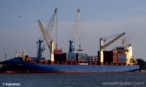
Vessel LILA HAREN IMO: 9238686, MMSI: 636022977 Container Ship
UTC, 20.30667, -73.95167, course: -1, speed: 14
UTC, 20.67667, -74.06667, course: -1, speed: 14
2026-03-24 07:28:23 UTC, 21.13833, -74.26167, course: -1, speed: 14
Live Vessel LILA HAREN Analytics (details, animations, etc.)
Live AIS position: UTC. 34 nm W of Mathew Town), updated 2026-03-24 07:28:23 UTC.Find the position of the vessel LILA HAREN on the map. The latter are known coordinates and path.
marine traffic ship tracker show on live map
The current position of vessel LILA HAREN is 21.13833 lat / -74.26167 lng. Updated: 2026-03-24 07:28:23 UTCCurrently sailing under the flag of Liberia
Details:
Last coordinates of the vessel:
UTC, 20.00167, -73.99500, course: -1, speed: 13UTC, 20.30667, -73.95167, course: -1, speed: 14
UTC, 20.67667, -74.06667, course: -1, speed: 14
2026-03-24 07:28:23 UTC, 21.13833, -74.26167, course: -1, speed: 14