 vesseltracker.com
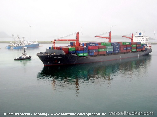
Vessel NYRA2 IMO: 9241487, MMSI: 620800049 Container Ship
UTC, 31.39204, 32.32101, course: 19, speed: 0
UTC, 31.39195, 32.32085, course: 21, speed: 0
2026-03-09 19:29:34 UTC, 31.39233, 32.32026, course: 43, speed: 0.1
Live Vessel NYRA2 Analytics (details, animations, etc.)
Live AIS position: UTC. Near Port Said), updated 2026-03-09 19:29:34 UTC.Find the position of the vessel NYRA2 on the map. The latter are known coordinates and path.
marine traffic ship tracker show on live map
The current position of vessel NYRA2 is 31.39233 lat / 32.32026 lng. Updated: 2026-03-09 19:29:34 UTCCurrently sailing under the flag of Comoros
Details:
Last coordinates of the vessel:
UTC, 31.39192, 32.32117, course: 14, speed: 0UTC, 31.39204, 32.32101, course: 19, speed: 0
UTC, 31.39195, 32.32085, course: 21, speed: 0
2026-03-09 19:29:34 UTC, 31.39233, 32.32026, course: 43, speed: 0.1