 vesseltracker.com
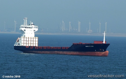
Vessel Boya IMO: 9242572, MMSI: 357622000 Container Ship
UTC, 12.45844, 43.65769, course: 92, speed: 11.1
UTC, 12.45844, 43.65769, course: 92, speed: 11.1
2026-02-13 06:01:53 UTC, 12.45844, 43.65769, course: 92, speed: 11.1
Live AIS position:
UTC. 18 nm SE of Perim Island),
updated 2026-02-13 06:01:53 UTC.
Find the position of the vessel Boya on the map. The latter are known coordinates and path.
marine traffic ship tracker show on live map
The current position of vessel Boya is 12.45844 lat / 43.65769 lng. Updated: 2026-02-13 06:01:53 UTCDetails:
Last coordinates of the vessel:
UTC, 12.46022, 43.61552, course: 106, speed: 11.1UTC, 12.45844, 43.65769, course: 92, speed: 11.1
UTC, 12.45844, 43.65769, course: 92, speed: 11.1
2026-02-13 06:01:53 UTC, 12.45844, 43.65769, course: 92, speed: 11.1