 vesseltracker.com
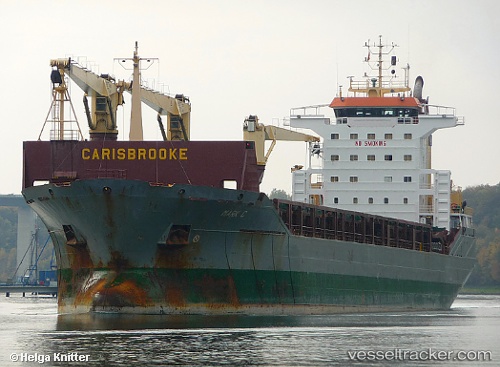
Vessel Vitoria Bay IMO: 9243825, MMSI: 273256600 Multi Purpose Carrier
UTC, 68.31763, 11.04300, course: 250, speed: 4.5
UTC, 68.37667, 10.85667, course: -1, speed: 3
2026-02-28 18:08:06 UTC, 68.44667, 10.73333, course: -1, speed: 0
Live AIS position:
UTC. 58 nm NW of FREDVANG),
updated 2026-02-28 18:08:06 UTC.
Find the position of the vessel Vitoria Bay on the map. The latter are known coordinates and path.
marine traffic ship tracker show on live map
The current position of vessel Vitoria Bay is 68.44667 lat / 10.73333 lng. Updated: 2026-02-28 18:08:06 UTCCurrently sailing under the flag of
Vitoria Bay built in 0 year
Deadweight:
0 tDetails:
Last coordinates of the vessel:
UTC, 68.28348, 11.32046, course: 206, speed: 1.7UTC, 68.31763, 11.04300, course: 250, speed: 4.5
UTC, 68.37667, 10.85667, course: -1, speed: 3
2026-02-28 18:08:06 UTC, 68.44667, 10.73333, course: -1, speed: 0