 vesseltracker.com
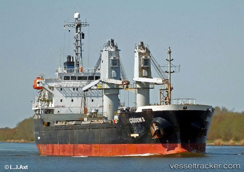
Vessel A LINE IMO: 9246920, MMSI: 314715000 Bulk Carrier
UTC, 44.69017, 37.59248, course: 330, speed: 7.7
UTC, 44.69017, 37.59248, course: 330, speed: 7.7
2026-02-26 17:51:29 UTC, 44.69017, 37.59248, course: 330, speed: 7.7
Live AIS position:
UTC. Near Cpc Terminal),
updated 2026-02-26 17:51:29 UTC.
Find the position of the vessel A LINE on the map. The latter are known coordinates and path.
marine traffic ship tracker show on live map
The current position of vessel A LINE is 44.69017 lat / 37.59248 lng. Updated: 2026-02-26 17:51:29 UTCCurrently sailing under the flag of Barbados
Details:
Last coordinates of the vessel:
UTC, 44.61367, 37.96200, course: 276, speed: 50.7UTC, 44.69017, 37.59248, course: 330, speed: 7.7
UTC, 44.69017, 37.59248, course: 330, speed: 7.7
2026-02-26 17:51:29 UTC, 44.69017, 37.59248, course: 330, speed: 7.7