 vesseltracker.com
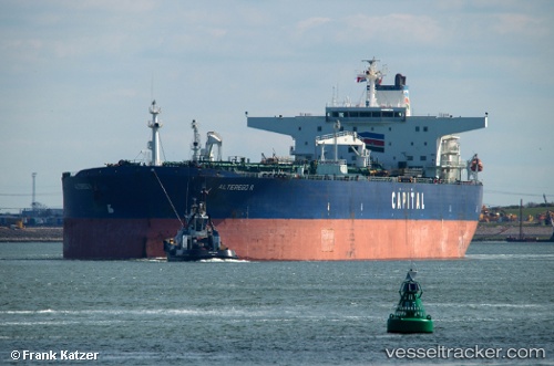
Vessel MARIEL IMO: 9247376, MMSI: 667002425 Crude Oil Tanker
UTC, 14.01050, 56.26392, course: 198, speed: 1.2
UTC, 14.04392, 56.23615, course: 194, speed: 1.1
2026-03-04 02:22:29 UTC, 14.05245, 56.23095, course: 192, speed: 1.1
Live AIS position:
UTC. 160 nm NE of Suqutrá),
updated 2026-03-04 02:22:29 UTC.
Find the position of the vessel MARIEL on the map. The latter are known coordinates and path.
marine traffic ship tracker show on live map
The current position of vessel MARIEL is 14.05245 lat / 56.23095 lng. Updated: 2026-03-04 02:22:29 UTCCurrently sailing under the flag of Sierra Leone
Details:
Last coordinates of the vessel:
UTC, 13.98505, 56.29003, course: 207, speed: 1.3UTC, 14.01050, 56.26392, course: 198, speed: 1.2
UTC, 14.04392, 56.23615, course: 194, speed: 1.1
2026-03-04 02:22:29 UTC, 14.05245, 56.23095, course: 192, speed: 1.1