 vesseltracker.com
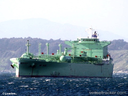
Vessel 'NICE' IMO: 9247819, MMSI: 257509000
UTC, 24.94540, -93.75221, course: 262, speed: 1.5
UTC, 24.88772, -93.79561, course: 267, speed: 1.3
2026-02-06 09:18:46 UTC, 24.87110, -93.80947, course: 245, speed: 1.2
Live AIS position:
UTC. 195 nm E of South Padre Island),
updated 2026-02-06 09:18:46 UTC.
Find the position of the vessel 'NICE' on the map. The latter are known coordinates and path.
marine traffic ship tracker show on live map
The current position of vessel 'NICE' is 24.87110 lat / -93.80947 lng. Updated: 2026-02-06 09:18:46 UTCDetails:
Last coordinates of the vessel:
UTC, 24.96792, -93.73986, course: 272, speed: 1.5UTC, 24.94540, -93.75221, course: 262, speed: 1.5
UTC, 24.88772, -93.79561, course: 267, speed: 1.3
2026-02-06 09:18:46 UTC, 24.87110, -93.80947, course: 245, speed: 1.2