 vesseltracker.com
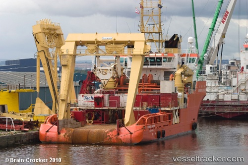
Vessel NORMAND MARINER IMO: 9249350, MMSI: 352001201 Offshore Tug/Supply Ship
Live AIS position:
UTC. 42 nm NW of Sebang),
updated 2025-12-31 06:20:37 UTC.
Find the position of the vessel NORMAND MARINER on the map. The latter are known coordinates and path.
marine traffic ship tracker show on live map
The current position of vessel NORMAND MARINER is 6.24218 lat / 94.68337 lng. Updated: 2025-12-31 06:20:37 UTCCurrently sailing under the flag of Panama
NORMAND MARINER built in 2002 year
Deadweight:
3694 tDetails:
Last coordinates of the vessel:
2025-12-31 06:20:37 UTC, 6.24218, 94.68337, course: 245, speed: 12