 vesseltracker.com
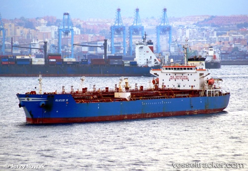
Vessel ANKARA IMO: 9253777, MMSI: 352003672 Chemical Oil Products Tanker
UTC, 37.18633, 25.82917, course: 109, speed: 8.3
UTC, 36.98967, 26.13567, course: 127, speed: 8.4
2026-02-26 13:35:54 UTC, 36.85317, 26.25817, course: -1, speed: 6.3
Live AIS position:
UTC. 14 nm E of Aigiali Amorgou),
updated 2026-02-26 13:35:54 UTC.
Find the position of the vessel ANKARA on the map. The latter are known coordinates and path.
marine traffic ship tracker show on live map
The current position of vessel ANKARA is 36.85317 lat / 26.25817 lng. Updated: 2026-02-26 13:35:54 UTCCurrently sailing under the flag of Panama
ANKARA built in 2004 year
Deadweight:
40083 tDetails:
Last coordinates of the vessel:
UTC, 37.27683, 25.44967, course: 89, speed: 6.2UTC, 37.18633, 25.82917, course: 109, speed: 8.3
UTC, 36.98967, 26.13567, course: 127, speed: 8.4
2026-02-26 13:35:54 UTC, 36.85317, 26.25817, course: -1, speed: 6.3