 vesseltracker.com
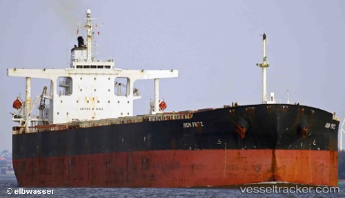
Vessel XH EXPLORER IMO: 9254680, MMSI: 636019528 Bulk Carrier
UTC, -12.72742, 93.71000, course: 61, speed: 11.3
UTC, -12.60479, 93.91106, course: 61, speed: 11.4
2026-02-25 17:29:57 UTC, -12.39043, 94.26264, course: 63, speed: 11.3
Live AIS position:
UTC. 153 nm W of Cocos Islands),
updated 2026-02-25 17:29:57 UTC.
Find the position of the vessel XH EXPLORER on the map. The latter are known coordinates and path.
marine traffic ship tracker show on live map
The current position of vessel XH EXPLORER is -12.39043 lat / 94.26264 lng. Updated: 2026-02-25 17:29:57 UTCCurrently sailing under the flag of Liberia
XH EXPLORER built in 2003 year
Deadweight:
176298 tDetails:
Last coordinates of the vessel:
UTC, -12.94749, 93.35525, course: 59, speed: 11.2UTC, -12.72742, 93.71000, course: 61, speed: 11.3
UTC, -12.60479, 93.91106, course: 61, speed: 11.4
2026-02-25 17:29:57 UTC, -12.39043, 94.26264, course: 63, speed: 11.3