 vesseltracker.com
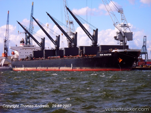
Vessel Alex A IMO: 9254836, MMSI: 357968000 Bulk Carrier
UTC, 25.15518, 56.38892, course: 300, speed: 7.3
UTC, 25.18333, 56.35833, course: -1, speed: 0
2026-03-01 08:03:46 UTC, 25.18443, 56.35882, course: 359, speed: 0
Live AIS position:
UTC. Near Al Fujayrah),
updated 2026-03-01 08:03:46 UTC.
Find the position of the vessel Alex A on the map. The latter are known coordinates and path.
marine traffic ship tracker show on live map
The current position of vessel Alex A is 25.18443 lat / 56.35882 lng. Updated: 2026-03-01 08:03:46 UTCCurrently sailing under the flag of Panama
Alex A built in 2002 year
Deadweight:
50399 tDetails:
Last coordinates of the vessel:
UTC, 25.13025, 56.45105, course: 268, speed: 5.4UTC, 25.15518, 56.38892, course: 300, speed: 7.3
UTC, 25.18333, 56.35833, course: -1, speed: 0
2026-03-01 08:03:46 UTC, 25.18443, 56.35882, course: 359, speed: 0