 vesseltracker.com
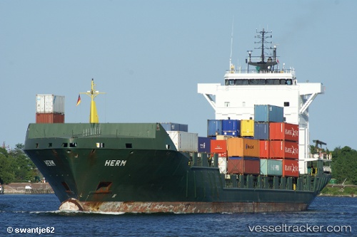
Vessel ENERGY IMO: 9255787, MMSI: 255806300 Container Ship
UTC, 51.88132, 4.40085, course: 263, speed: 0
UTC, 51.88132, 4.40083, course: 262, speed: 0
2026-02-25 15:49:06 UTC, 51.88132, 4.40084, course: 263, speed: 0
Live AIS position:
UTC. Near ROTTERDAM PERNIS),
updated 2026-02-25 15:49:06 UTC.
Find the position of the vessel ENERGY on the map. The latter are known coordinates and path.
marine traffic ship tracker show on live map
The current position of vessel ENERGY is 51.88132 lat / 4.40084 lng. Updated: 2026-02-25 15:49:06 UTCCurrently sailing under the flag of Portugal (MAR)
ENERGY built in 2004 year
Deadweight:
9368 tDetails:
Last coordinates of the vessel:
UTC, 51.88133, 4.40086, course: 264, speed: 0UTC, 51.88132, 4.40085, course: 263, speed: 0
UTC, 51.88132, 4.40083, course: 262, speed: 0
2026-02-25 15:49:06 UTC, 51.88132, 4.40084, course: 263, speed: 0