 vesseltracker.com
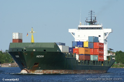
Vessel 'ENERGY' IMO: 9255787, MMSI: 255806300
UTC, 57.33563, 11.70273, course: 142, speed: 14.1
UTC, 56.85367, 12.06363, course: 163, speed: 14.1
2026-02-01 02:15:58 UTC, 56.36393, 12.29655, course: 158, speed: 15.1
Live AIS position:
UTC. Near Mölle),
updated 2026-02-01 02:15:58 UTC.
Find the position of the vessel 'ENERGY' on the map. The latter are known coordinates and path.
marine traffic ship tracker show on live map
The current position of vessel 'ENERGY' is 56.36393 lat / 12.29655 lng. Updated: 2026-02-01 02:15:58 UTCDetails:
Last coordinates of the vessel:
UTC, 57.72971, 11.23270, course: 154, speed: 13.3UTC, 57.33563, 11.70273, course: 142, speed: 14.1
UTC, 56.85367, 12.06363, course: 163, speed: 14.1
2026-02-01 02:15:58 UTC, 56.36393, 12.29655, course: 158, speed: 15.1