 vesseltracker.com
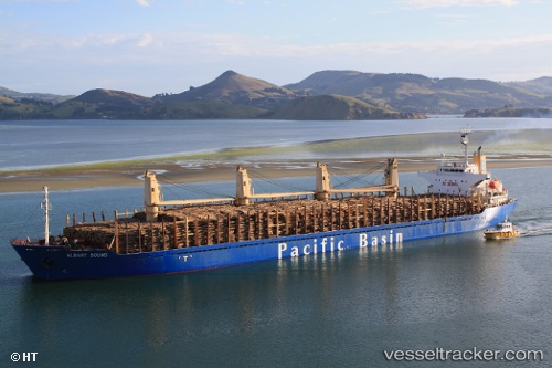
Vessel PRINCESS FAYZAH IMO: 9260859, MMSI: 314540000 Bulk Carrier
UTC, 44.94295, 30.03052, course: 358, speed: 5.5
UTC, 44.94295, 30.03052, course: 358, speed: 5.5
2026-02-18 15:10:00 UTC, 44.94295, 30.03052, course: 358, speed: 5.5
Live AIS position:
UTC. 20 nm SE of Sulina (Port et Zone Franche)),
updated 2026-02-18 15:10:00 UTC.
Find the position of the vessel PRINCESS FAYZAH on the map. The latter are known coordinates and path.
marine traffic ship tracker show on live map
The current position of vessel PRINCESS FAYZAH is 44.94295 lat / 30.03052 lng. Updated: 2026-02-18 15:10:00 UTCCurrently sailing under the flag of Barbados
PRINCESS FAYZAH built in 2002 year
Deadweight:
28379 tDetails:
Last coordinates of the vessel:
UTC, 44.92040, 30.03170, course: 349, speed: 1.1UTC, 44.94295, 30.03052, course: 358, speed: 5.5
UTC, 44.94295, 30.03052, course: 358, speed: 5.5
2026-02-18 15:10:00 UTC, 44.94295, 30.03052, course: 358, speed: 5.5