 vesseltracker.com
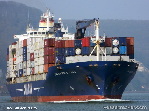
Vessel 'CMACGM FORT ST LOUIS' IMO: 9261889, MMSI: 209912000
UTC, 16.09667, -73.17167, course: -1, speed: 14
UTC, 15.82167, -72.69833, course: -1, speed: 17
2026-02-13 21:58:12 UTC, 15.59667, -72.30500, course: -1, speed: 17
Live AIS position:
UTC. 158 nm S of Jacmel),
updated 2026-02-13 21:58:12 UTC.
Find the position of the vessel 'CMACGM FORT ST LOUIS' on the map. The latter are known coordinates and path.
marine traffic ship tracker show on live map
The current position of vessel 'CMACGM FORT ST LOUIS' is 15.59667 lat / -72.30500 lng. Updated: 2026-02-13 21:58:12 UTCDetails:
Last coordinates of the vessel:
UTC, 16.33169, -73.57682, course: 121, speed: 14UTC, 16.09667, -73.17167, course: -1, speed: 14
UTC, 15.82167, -72.69833, course: -1, speed: 17
2026-02-13 21:58:12 UTC, 15.59667, -72.30500, course: -1, speed: 17