 vesseltracker.com
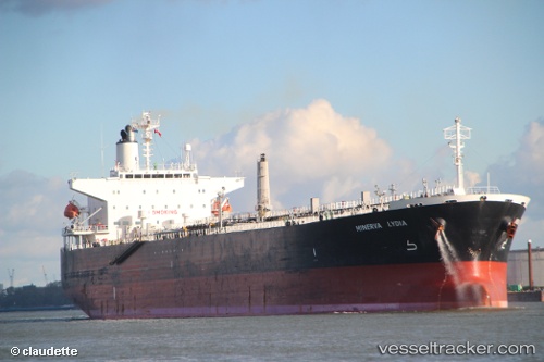
Vessel MINERVA LYDIA IMO: 9262900, MMSI: 636021692 Oil Products Tanker
UTC, 48.20132, -123.17635, course: 85, speed: 4.1
2026-02-05 06:14:31 UTC, 48.20132, -123.17635, course: 85, speed: 4.1
Live AIS position:
UTC. 12 nm E of Port Angeles),
updated 2026-02-05 06:14:31 UTC.
Find the position of the vessel MINERVA LYDIA on the map. The latter are known coordinates and path.
marine traffic ship tracker show on live map
The current position of vessel MINERVA LYDIA is 48.20132 lat / -123.17635 lng. Updated: 2026-02-05 06:14:31 UTCCurrently sailing under the flag of Liberia
MINERVA LYDIA built in 2004 year
Deadweight:
47999 tDetails:
Last coordinates of the vessel:
UTC, 48.20132, -123.17635, course: 85, speed: 4.1UTC, 48.20132, -123.17635, course: 85, speed: 4.1
2026-02-05 06:14:31 UTC, 48.20132, -123.17635, course: 85, speed: 4.1