 vesseltracker.com
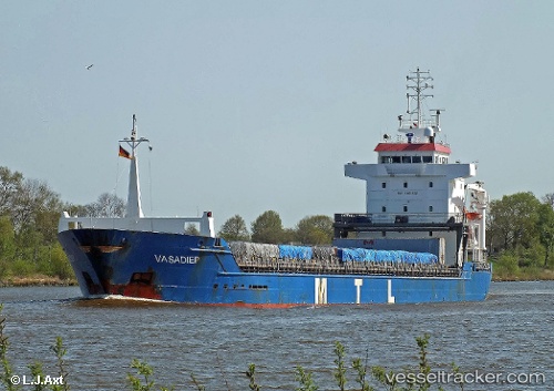
Vessel KETHI IMO: 9263552, MMSI: 215540000 General Cargo Ship
UTC, 44.7764, -9.05697, course: 207, speed: 10.6
UTC, 44.4786, -9.28422, course: 203, speed: 11.5
2026-03-21 19:49:42 UTC, 44.1502, -9.50553, course: 202, speed: 11.8
Live Vessel KETHI Analytics (details, animations, etc.)
Live AIS position: UTC. 42 nm N of Villanueva de Lorenzana), updated 2026-03-21 19:49:42 UTC.Find the position of the vessel KETHI on the map. The latter are known coordinates and path.
marine traffic ship tracker show on live map
The current position of vessel KETHI is 44.1502 lat / -9.50553 lng. Updated: 2026-03-21 19:49:42 UTCCurrently sailing under the flag of Malta
KETHI built in 2002 year
Deadweight:
8370 tDetails:
Last coordinates of the vessel:
UTC, 45.0763, -8.80675, course: 207, speed: 11.1UTC, 44.7764, -9.05697, course: 207, speed: 10.6
UTC, 44.4786, -9.28422, course: 203, speed: 11.5
2026-03-21 19:49:42 UTC, 44.1502, -9.50553, course: 202, speed: 11.8