 vesseltracker.com
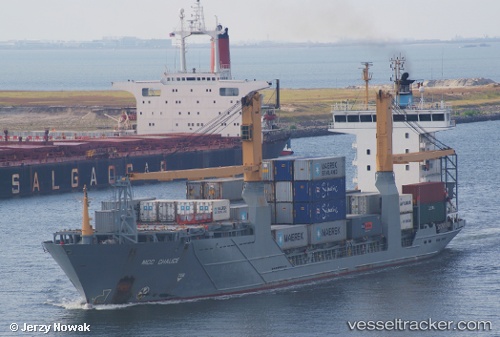
Vessel MERIOS IMO: 9264764, MMSI: 314808000 Container Ship
UTC, 44.44114, 37.77507, course: 75, speed: 7.2
UTC, 44.23785, 37.26863, course: -1, speed: 1
2026-03-01 19:55:55 UTC, 44.19533, 37.24375, course: 68, speed: 0.7
Live AIS position:
UTC. 33 nm SW of Cpc Terminal),
updated 2026-03-01 19:55:55 UTC.
Find the position of the vessel MERIOS on the map. The latter are known coordinates and path.
marine traffic ship tracker show on live map
The current position of vessel MERIOS is 44.19533 lat / 37.24375 lng. Updated: 2026-03-01 19:55:55 UTCCurrently sailing under the flag of Barbados
Details:
Last coordinates of the vessel:
UTC, 44.44114, 37.77507, course: 75, speed: 7.2UTC, 44.44114, 37.77507, course: 75, speed: 7.2
UTC, 44.23785, 37.26863, course: -1, speed: 1
2026-03-01 19:55:55 UTC, 44.19533, 37.24375, course: 68, speed: 0.7