 vesseltracker.com
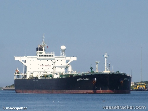
Vessel NEW POWER IMO: 9266853, MMSI: 620800046 Crude Oil Tanker
UTC, 13.14331, -69.26751, course: 273, speed: 0.1
UTC, 13.14346, -69.27073, course: 273, speed: 0.4
2026-02-25 01:23:21 UTC, 13.14353, -69.27223, course: 273, speed: 0.4
Live AIS position:
UTC. 54 nm NE of Bushiribana),
updated 2026-02-25 01:23:21 UTC.
Find the position of the vessel NEW POWER on the map. The latter are known coordinates and path.
marine traffic ship tracker show on live map
The current position of vessel NEW POWER is 13.14353 lat / -69.27223 lng. Updated: 2026-02-25 01:23:21 UTCCurrently sailing under the flag of Comoros
Details:
Last coordinates of the vessel:
UTC, 13.14333, -69.26333, course: -1, speed: 0UTC, 13.14331, -69.26751, course: 273, speed: 0.1
UTC, 13.14346, -69.27073, course: 273, speed: 0.4
2026-02-25 01:23:21 UTC, 13.14353, -69.27223, course: 273, speed: 0.4