 vesseltracker.com
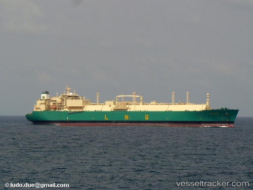
Vessel Lng Oyo IMO: 9267003, MMSI: 310487000 Lng Tanker
UTC, 0.91942, 0.31732, course: 268, speed: 19.3
UTC, 1.16609, -0.75205, course: 284, speed: 19.3
2026-02-01 19:26:39 UTC, 1.29688, -1.19354, course: 284, speed: 19.2
Live AIS position:
UTC. 106 nm NW of SAO LUIS),
updated 2026-02-01 19:26:39 UTC.
Find the position of the vessel Lng Oyo on the map. The latter are known coordinates and path.
marine traffic ship tracker show on live map
The current position of vessel Lng Oyo is 1.29688 lat / -1.19354 lng. Updated: 2026-02-01 19:26:39 UTCCurrently sailing under the flag of Bermuda
Lng Oyo built in 2005 year
Deadweight:
83068 tDetails:
Last coordinates of the vessel:
UTC, 0.91814, 0.73357, course: 267, speed: 19.3UTC, 0.91942, 0.31732, course: 268, speed: 19.3
UTC, 1.16609, -0.75205, course: 284, speed: 19.3
2026-02-01 19:26:39 UTC, 1.29688, -1.19354, course: 284, speed: 19.2