 vesseltracker.com
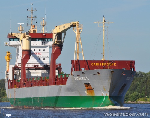
Vessel APALOS IMO: 9267285, MMSI: 636021510 General Cargo Ship
UTC, -5.90451, 13.34744, course: 296, speed: 14.9
UTC, -6.04822, 12.42182, course: 291, speed: 4.6
2026-02-26 17:18:18 UTC, -6.04693, 12.34208, course: 248, speed: 5.6
Live AIS position:
UTC. Near Banana),
updated 2026-02-26 17:18:18 UTC.
Find the position of the vessel APALOS on the map. The latter are known coordinates and path.
marine traffic ship tracker show on live map
The current position of vessel APALOS is -6.04693 lat / 12.34208 lng. Updated: 2026-02-26 17:18:18 UTCCurrently sailing under the flag of Liberia
APALOS built in 2003 year
Deadweight:
10621 tDetails:
Last coordinates of the vessel:
UTC, -5.83310, 13.43156, course: 190, speed: 0UTC, -5.90451, 13.34744, course: 296, speed: 14.9
UTC, -6.04822, 12.42182, course: 291, speed: 4.6
2026-02-26 17:18:18 UTC, -6.04693, 12.34208, course: 248, speed: 5.6