 vesseltracker.com
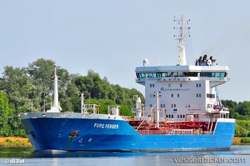
Vessel LADY YOUMNA IMO: 9268423, MMSI: 352003444 Chemical Oil Products Tanker
UTC, 11.56733, 49.49267, course: 57, speed: 8.7
UTC, 11.56733, 49.49267, course: 57, speed: 8.7
2026-01-18 06:54:33 UTC, 11.56733, 49.49267, course: 57, speed: 8.7
Live AIS position:
UTC. 25 nm NE of BOSASO),
updated 2026-01-18 06:54:33 UTC.
Find the position of the vessel LADY YOUMNA on the map. The latter are known coordinates and path.
marine traffic ship tracker show on live map
The current position of vessel LADY YOUMNA is 11.56733 lat / 49.49267 lng. Updated: 2026-01-18 06:54:33 UTCCurrently sailing under the flag of Panama
LADY YOUMNA built in 2003 year
Deadweight:
18736 tDetails:
Last coordinates of the vessel:
UTC, 11.56733, 49.49267, course: 57, speed: 8.7UTC, 11.56733, 49.49267, course: 57, speed: 8.7
UTC, 11.56733, 49.49267, course: 57, speed: 8.7
2026-01-18 06:54:33 UTC, 11.56733, 49.49267, course: 57, speed: 8.7