 vesseltracker.com
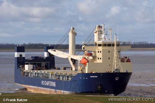
Vessel SPARTA IMO: 9268710, MMSI: 273389870 Ro-Ro Cargo Ship
UTC, 59.74926, 24.13908, course: 251, speed: 9.9
UTC, 59.66077, 23.48504, course: 251, speed: 9.9
2026-02-25 22:14:50 UTC, 59.40338, 22.27582, course: 226, speed: 9.4
Live AIS position:
UTC. 24 nm NW of Lehtma),
updated 2026-02-25 22:14:50 UTC.
Find the position of the vessel SPARTA on the map. The latter are known coordinates and path.
marine traffic ship tracker show on live map
The current position of vessel SPARTA is 59.40338 lat / 22.27582 lng. Updated: 2026-02-25 22:14:50 UTCCurrently sailing under the flag of Russia
SPARTA built in 2003 year
Deadweight:
6785 tDetails:
Last coordinates of the vessel:
UTC, 59.81335, 24.64182, course: 245, speed: 9UTC, 59.74926, 24.13908, course: 251, speed: 9.9
UTC, 59.66077, 23.48504, course: 251, speed: 9.9
2026-02-25 22:14:50 UTC, 59.40338, 22.27582, course: 226, speed: 9.4