 vesseltracker.com
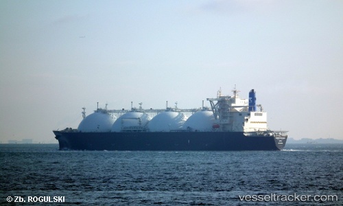
Vessel Energy Advance IMO: 9269180, MMSI: 432495000 Lng Tanker
UTC, 40.88667, 141.97667, course: -1, speed: 8
UTC, 40.51203, 142.15219, course: 155, speed: 8.6
2026-02-26 09:46:08 UTC, 40.26500, 142.25667, course: -1, speed: 8
Live AIS position:
UTC. 33 nm NE of Hachimantai),
updated 2026-02-26 09:46:08 UTC.
Find the position of the vessel Energy Advance on the map. The latter are known coordinates and path.
marine traffic ship tracker show on live map
The current position of vessel Energy Advance is 40.26500 lat / 142.25667 lng. Updated: 2026-02-26 09:46:08 UTCDetails:
Last coordinates of the vessel:
UTC, 41.12833, 141.92166, course: -1, speed: 9UTC, 40.88667, 141.97667, course: -1, speed: 8
UTC, 40.51203, 142.15219, course: 155, speed: 8.6
2026-02-26 09:46:08 UTC, 40.26500, 142.25667, course: -1, speed: 8