 vesseltracker.com
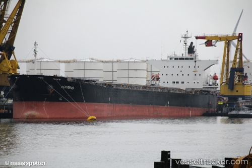
Vessel Kerveros IMO: 9272917, MMSI: 354327000 Bulk Carrier
UTC, 11.66500, 43.08167, course: -1, speed: 0
UTC, 11.66667, 43.08167, course: -1, speed: 0
2026-02-21 11:22:37 UTC, 11.66667, 43.08167, course: -1, speed: 0
Live AIS position:
UTC. Near Djibouti),
updated 2026-02-21 11:22:37 UTC.
Find the position of the vessel Kerveros on the map. The latter are known coordinates and path.
marine traffic ship tracker show on live map
The current position of vessel Kerveros is 11.66667 lat / 43.08167 lng. Updated: 2026-02-21 11:22:37 UTCDetails:
Last coordinates of the vessel:
UTC, 11.66667, 43.08333, course: -1, speed: 0UTC, 11.66500, 43.08167, course: -1, speed: 0
UTC, 11.66667, 43.08167, course: -1, speed: 0
2026-02-21 11:22:37 UTC, 11.66667, 43.08167, course: -1, speed: 0