 vesseltracker.com
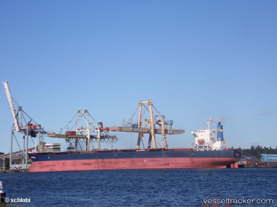
Vessel Pantazis L IMO: 9272955, MMSI: 636013183 Bulk Carrier
UTC, -16.63810, 42.51609, course: 336, speed: 7.9
UTC, -16.37211, 42.33280, course: 327, speed: 7.4
2026-01-30 08:09:17 UTC, -16.37211, 42.33280, course: 327, speed: 7.4
Live AIS position:
UTC. 123 nm W of Ankokoambo),
updated 2026-01-30 08:09:17 UTC.
Find the position of the vessel Pantazis L on the map. The latter are known coordinates and path.
marine traffic ship tracker show on live map
The current position of vessel Pantazis L is -16.37211 lat / 42.33280 lng. Updated: 2026-01-30 08:09:17 UTCDetails:
Last coordinates of the vessel:
UTC, -16.93260, 42.47627, course: 38, speed: 8.6UTC, -16.63810, 42.51609, course: 336, speed: 7.9
UTC, -16.37211, 42.33280, course: 327, speed: 7.4
2026-01-30 08:09:17 UTC, -16.37211, 42.33280, course: 327, speed: 7.4