 vesseltracker.com
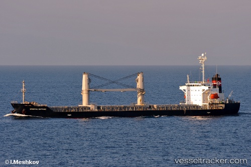
Vessel BUNDU IMO: 9273014, MMSI: 352001341 Bulk Carrier
UTC, 33.16725, -8.66789, course: 45, speed: 0.7
UTC, 33.16717, -8.66776, course: 37, speed: 0.2
2026-02-17 07:50:58 UTC, 33.16713, -8.66769, course: 38, speed: 0.6
Live AIS position:
UTC. Near Jorf Lasfar),
updated 2026-02-17 07:50:58 UTC.
Find the position of the vessel BUNDU on the map. The latter are known coordinates and path.
marine traffic ship tracker show on live map
The current position of vessel BUNDU is 33.16713 lat / -8.66769 lng. Updated: 2026-02-17 07:50:58 UTCCurrently sailing under the flag of Panama
BUNDU built in 2003 year
Deadweight:
16765 tDetails:
Last coordinates of the vessel:
UTC, 33.16721, -8.66781, course: 38, speed: 0.2UTC, 33.16725, -8.66789, course: 45, speed: 0.7
UTC, 33.16717, -8.66776, course: 37, speed: 0.2
2026-02-17 07:50:58 UTC, 33.16713, -8.66769, course: 38, speed: 0.6