 vesseltracker.com
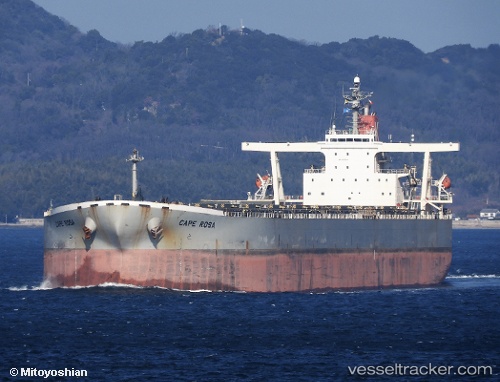
Vessel '636020155' IMO: 9273985, MMSI: 636020155
UTC, 37.72422, 121.12233, course: 180, speed: 0
UTC, 37.72430, 121.12235, course: 180, speed: 0
2026-02-03 20:26:55 UTC, 37.72422, 121.12230, course: 180, speed: 0
Live AIS position:
UTC. 16 nm NW of Yantai),
updated 2026-02-03 20:26:55 UTC.
Find the position of the vessel '636020155' on the map. The latter are known coordinates and path.
marine traffic ship tracker show on live map
The current position of vessel '636020155' is 37.72422 lat / 121.12230 lng. Updated: 2026-02-03 20:26:55 UTCDetails:
Last coordinates of the vessel:
UTC, 37.72428, 121.12233, course: 180, speed: 0UTC, 37.72422, 121.12233, course: 180, speed: 0
UTC, 37.72430, 121.12235, course: 180, speed: 0
2026-02-03 20:26:55 UTC, 37.72422, 121.12230, course: 180, speed: 0