 vesseltracker.com
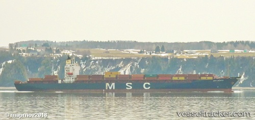
Vessel Msc Manya IMO: 9275397, MMSI: 636015233 Container Ship
UTC, 17.89519, -68.43234, course: 266, speed: 7.7
UTC, 17.89033, -68.70932, course: 272, speed: 7.8
2026-02-23 13:27:42 UTC, 17.89322, -68.83568, course: 272, speed: 7.1
Live AIS position:
UTC. 30 nm S of Catalina Island),
updated 2026-02-23 13:27:42 UTC.
Find the position of the vessel Msc Manya on the map. The latter are known coordinates and path.
marine traffic ship tracker show on live map
The current position of vessel Msc Manya is 17.89322 lat / -68.83568 lng. Updated: 2026-02-23 13:27:42 UTCCurrently sailing under the flag of Liberia
Msc Manya built in 2003 year
Deadweight:
43093 tDetails:
Last coordinates of the vessel:
UTC, 17.99178, -68.24746, course: 206, speed: 7.1UTC, 17.89519, -68.43234, course: 266, speed: 7.7
UTC, 17.89033, -68.70932, course: 272, speed: 7.8
2026-02-23 13:27:42 UTC, 17.89322, -68.83568, course: 272, speed: 7.1