 vesseltracker.com
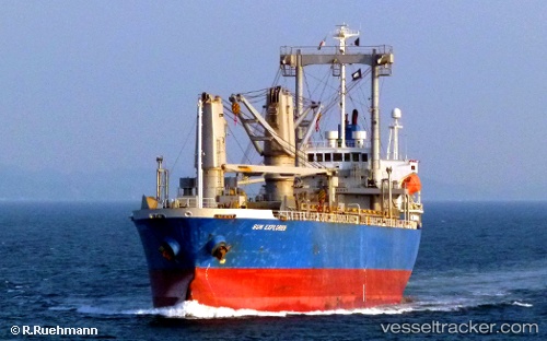
Vessel Toyo Energy IMO: 9276937, MMSI: 357921000 General Cargo Ship
UTC, 29.97749, 32.58686, course: 356, speed: 7.3
UTC, 30.14236, 32.56975, course: 2, speed: 8.7
2026-02-09 13:31:39 UTC, 30.35635, 32.37709, course: 335, speed: 9.3
Live AIS position:
UTC. Near SUEZ CANAL),
updated 2026-02-09 13:31:39 UTC.
Find the position of the vessel Toyo Energy on the map. The latter are known coordinates and path.
marine traffic ship tracker show on live map
The current position of vessel Toyo Energy is 30.35635 lat / 32.37709 lng. Updated: 2026-02-09 13:31:39 UTCDetails:
Last coordinates of the vessel:
UTC, 29.86560, 32.56309, course: 146, speed: 0.4UTC, 29.97749, 32.58686, course: 356, speed: 7.3
UTC, 30.14236, 32.56975, course: 2, speed: 8.7
2026-02-09 13:31:39 UTC, 30.35635, 32.37709, course: 335, speed: 9.3