 vesseltracker.com
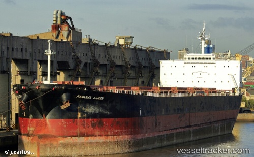
Vessel ATLANTIC B IMO: 9278428, MMSI: 636024915 Bulk Carrier
UTC, 45.24364, 36.52906, course: 272, speed: 8
UTC, 45.24364, 36.52906, course: 272, speed: 8
2026-02-25 22:02:08 UTC, 45.24364, 36.52906, course: 272, speed: 8
Live AIS position:
UTC. Near KOMYSH BURUNSKA),
updated 2026-02-25 22:02:08 UTC.
Find the position of the vessel ATLANTIC B on the map. The latter are known coordinates and path.
marine traffic ship tracker show on live map
The current position of vessel ATLANTIC B is 45.24364 lat / 36.52906 lng. Updated: 2026-02-25 22:02:08 UTCCurrently sailing under the flag of Liberia
Details:
Last coordinates of the vessel:
UTC, 45.30128, 36.45436, course: 312, speed: 50.6UTC, 45.24364, 36.52906, course: 272, speed: 8
UTC, 45.24364, 36.52906, course: 272, speed: 8
2026-02-25 22:02:08 UTC, 45.24364, 36.52906, course: 272, speed: 8