 vesseltracker.com
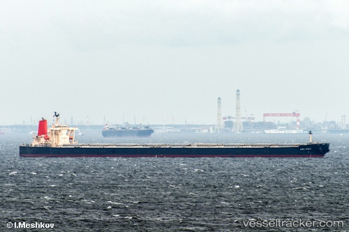
Vessel 563122200 IMO: 9278636, MMSI: 563122200
UTC, -33.68592, 29.53547, course: 278, speed: 13
UTC, -33.67188, 29.10978, course: 280, speed: 12.8
2026-02-16 15:35:08 UTC, -33.68598, 28.69773, course: 268, speed: 13
Live AIS position:
UTC. 56 nm SE of West Bank),
updated 2026-02-16 15:35:08 UTC.
Find the position of the vessel 563122200 on the map. The latter are known coordinates and path.
marine traffic ship tracker show on live map
The current position of vessel 563122200 is -33.68598 lat / 28.69773 lng. Updated: 2026-02-16 15:35:08 UTCDetails:
Last coordinates of the vessel:
UTC, -33.69857, 30.03523, course: 273, speed: 13.1UTC, -33.68592, 29.53547, course: 278, speed: 13
UTC, -33.67188, 29.10978, course: 280, speed: 12.8
2026-02-16 15:35:08 UTC, -33.68598, 28.69773, course: 268, speed: 13