 vesseltracker.com
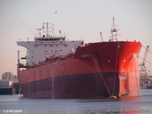
Vessel BLUE OCEAN IMO: 9281580, MMSI: 636020068 Chemical/Oil Products Tanker
UTC, -62.05848, -162.05449, course: 202, speed: 83.1
2026-02-10 16:40:10 UTC, -62.05848, -162.05449, course: 202, speed: 83.1
Live AIS position:
UTC. Open sea (no nearby ports in database)),
updated 2026-02-10 16:40:10 UTC.
Find the position of the vessel BLUE OCEAN on the map. The latter are known coordinates and path.
marine traffic ship tracker show on live map
The current position of vessel BLUE OCEAN is -62.05848 lat / -162.05449 lng. Updated: 2026-02-10 16:40:10 UTCCurrently sailing under the flag of Liberia
BLUE OCEAN built in 2006 year
Deadweight:
45557 tDetails:
Last coordinates of the vessel:
UTC, -62.05848, -162.05449, course: 202, speed: 83.1UTC, -62.05848, -162.05449, course: 202, speed: 83.1
2026-02-10 16:40:10 UTC, -62.05848, -162.05449, course: 202, speed: 83.1