 vesseltracker.com
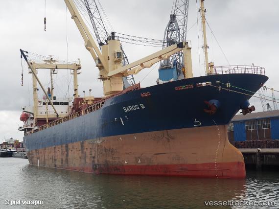
Vessel Saros B IMO: 9282338, MMSI: 356477000 General Cargo Ship
UTC, 44.36105, 37.55691, course: 234, speed: 1.1
UTC, 44.34838, 37.54959, course: 239, speed: 0.4
2026-02-26 15:18:40 UTC, 44.34214, 37.53023, course: -1, speed: 0.3
Live AIS position:
UTC. 20 nm S of Cpc Terminal),
updated 2026-02-26 15:18:40 UTC.
Find the position of the vessel Saros B on the map. The latter are known coordinates and path.
marine traffic ship tracker show on live map
The current position of vessel Saros B is 44.34214 lat / 37.53023 lng. Updated: 2026-02-26 15:18:40 UTCCurrently sailing under the flag of Panama
Saros B built in 2003 year
Deadweight:
11443 tDetails:
Last coordinates of the vessel:
UTC, 44.31847, 37.35863, course: 68, speed: 10.9UTC, 44.36105, 37.55691, course: 234, speed: 1.1
UTC, 44.34838, 37.54959, course: 239, speed: 0.4
2026-02-26 15:18:40 UTC, 44.34214, 37.53023, course: -1, speed: 0.3