 vesseltracker.com
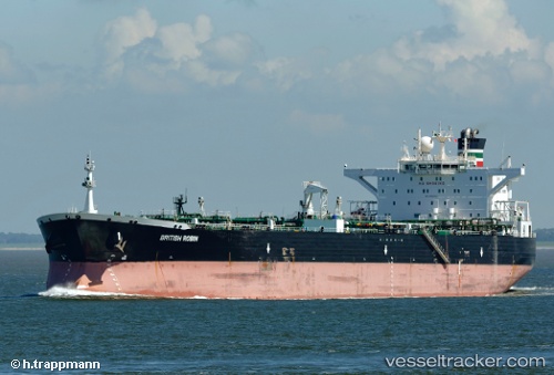
Vessel FORTIES IMO: 9282508, MMSI: 538008196 Crude Oil Tanker
Live AIS position:
UTC. Near Cape St. Jacques),
updated 2025-12-30 23:36:52 UTC.
Find the position of the vessel FORTIES on the map. The latter are known coordinates and path.
marine traffic ship tracker show on live map
The current position of vessel FORTIES is 10.20144 lat / 107.05384 lng. Updated: 2025-12-30 23:36:52 UTCCurrently sailing under the flag of Marshall Islands
FORTIES built in 2005 year
Deadweight:
113782 tDetails:
Last coordinates of the vessel:
2025-12-30 23:36:52 UTC, 10.20144, 107.05384, course: 77, speed: 0.1