 vesseltracker.com
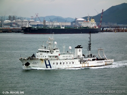
Vessel Badaro1 IMO: 9282584, MMSI: 441282000 Fishing Support Vessel
UTC, 35.12218, 129.05418, course: -1, speed: 0
UTC, 35.12218, 129.05418, course: -1, speed: 0
UTC, 35.12217, 129.05408, course: 37, speed: 0
UTC, 35.12214, 129.05412, course: 53, speed: 0
2026-02-10 23:39:37 UTC, 35.12214, 129.05412, course: 53, speed: 0
Live AIS position:
UTC. Near Busan),
updated 2026-02-10 23:39:37 UTC.
Find the position of the vessel Badaro1 on the map. The latter are known coordinates and path.
marine traffic ship tracker show on live map
The current position of vessel Badaro1 is 35.12214 lat / 129.05412 lng. Updated: 2026-02-10 23:39:37 UTCDetails:
Last coordinates of the vessel:
UTC, 35.12218, 129.05418, course: -1, speed: 0UTC, 35.12218, 129.05418, course: -1, speed: 0
UTC, 35.12218, 129.05418, course: -1, speed: 0
UTC, 35.12217, 129.05408, course: 37, speed: 0
UTC, 35.12214, 129.05412, course: 53, speed: 0
2026-02-10 23:39:37 UTC, 35.12214, 129.05412, course: 53, speed: 0