 vesseltracker.com
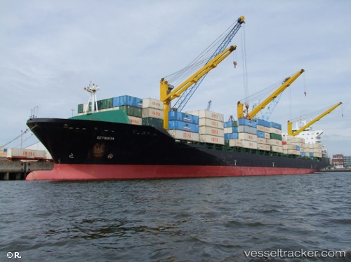
Vessel Artam IMO: 9284154, MMSI: 422038800 Container Ship
UTC, 25.65198, 55.02172, course: 233, speed: 15.2
UTC, 25.35421, 54.94381, course: 200, speed: 14.3
2026-02-15 13:23:15 UTC, 25.15752, 54.84436, course: 253, speed: 0
Live AIS position:
UTC. 12 nm NW of Jebel Ali),
updated 2026-02-15 13:23:15 UTC.
Find the position of the vessel Artam on the map. The latter are known coordinates and path.
marine traffic ship tracker show on live map
The current position of vessel Artam is 25.15752 lat / 54.84436 lng. Updated: 2026-02-15 13:23:15 UTCDetails:
Last coordinates of the vessel:
UTC, 26.12736, 55.55437, course: 214, speed: 15.8UTC, 25.65198, 55.02172, course: 233, speed: 15.2
UTC, 25.35421, 54.94381, course: 200, speed: 14.3
2026-02-15 13:23:15 UTC, 25.15752, 54.84436, course: 253, speed: 0