 vesseltracker.com
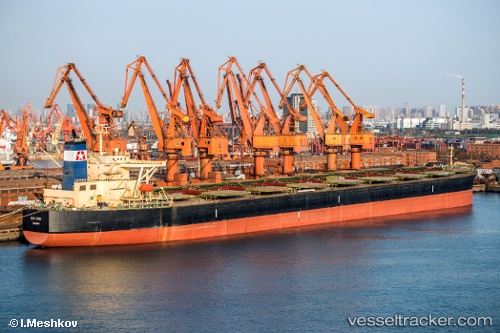
Vessel SEA TAURUS IMO: 9284295, MMSI: 352003451 Bulk Carrier
UTC, 1.28005, 104.00587, course: 77, speed: 0
UTC, 1.28008, 104.00562, course: 79, speed: 0.1
2026-02-25 13:28:01 UTC, 1.14705, 103.75382, course: 233, speed: 10.6
Live AIS position:
UTC. Near BUKOM ISLAND),
updated 2026-02-25 13:28:01 UTC.
Find the position of the vessel SEA TAURUS on the map. The latter are known coordinates and path.
marine traffic ship tracker show on live map
The current position of vessel SEA TAURUS is 1.14705 lat / 103.75382 lng. Updated: 2026-02-25 13:28:01 UTCCurrently sailing under the flag of Panama
Details:
Last coordinates of the vessel:
UTC, 1.28065, 104.00532, course: 82, speed: 0UTC, 1.28005, 104.00587, course: 77, speed: 0
UTC, 1.28008, 104.00562, course: 79, speed: 0.1
2026-02-25 13:28:01 UTC, 1.14705, 103.75382, course: 233, speed: 10.6