 vesseltracker.com
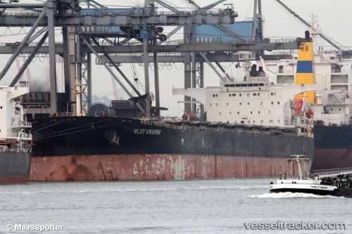
Vessel ASL MARS IMO: 9284659, MMSI: 636019533
UTC, -25.81463, 49.53763, course: 250, speed: 7.1
UTC, -25.86501, 49.40262, course: 253, speed: 6.9
2026-02-16 22:09:51 UTC, -25.98513, 49.08032, course: 250, speed: 6.4
Live AIS position:
UTC. 126 nm SE of Fort Dauphin),
updated 2026-02-16 22:09:51 UTC.
Find the position of the vessel ASL MARS on the map. The latter are known coordinates and path.
marine traffic ship tracker show on live map
The current position of vessel ASL MARS is -25.98513 lat / 49.08032 lng. Updated: 2026-02-16 22:09:51 UTCDetails:
Last coordinates of the vessel:
UTC, -25.67500, 49.89167, course: -1, speed: 7UTC, -25.81463, 49.53763, course: 250, speed: 7.1
UTC, -25.86501, 49.40262, course: 253, speed: 6.9
2026-02-16 22:09:51 UTC, -25.98513, 49.08032, course: 250, speed: 6.4